

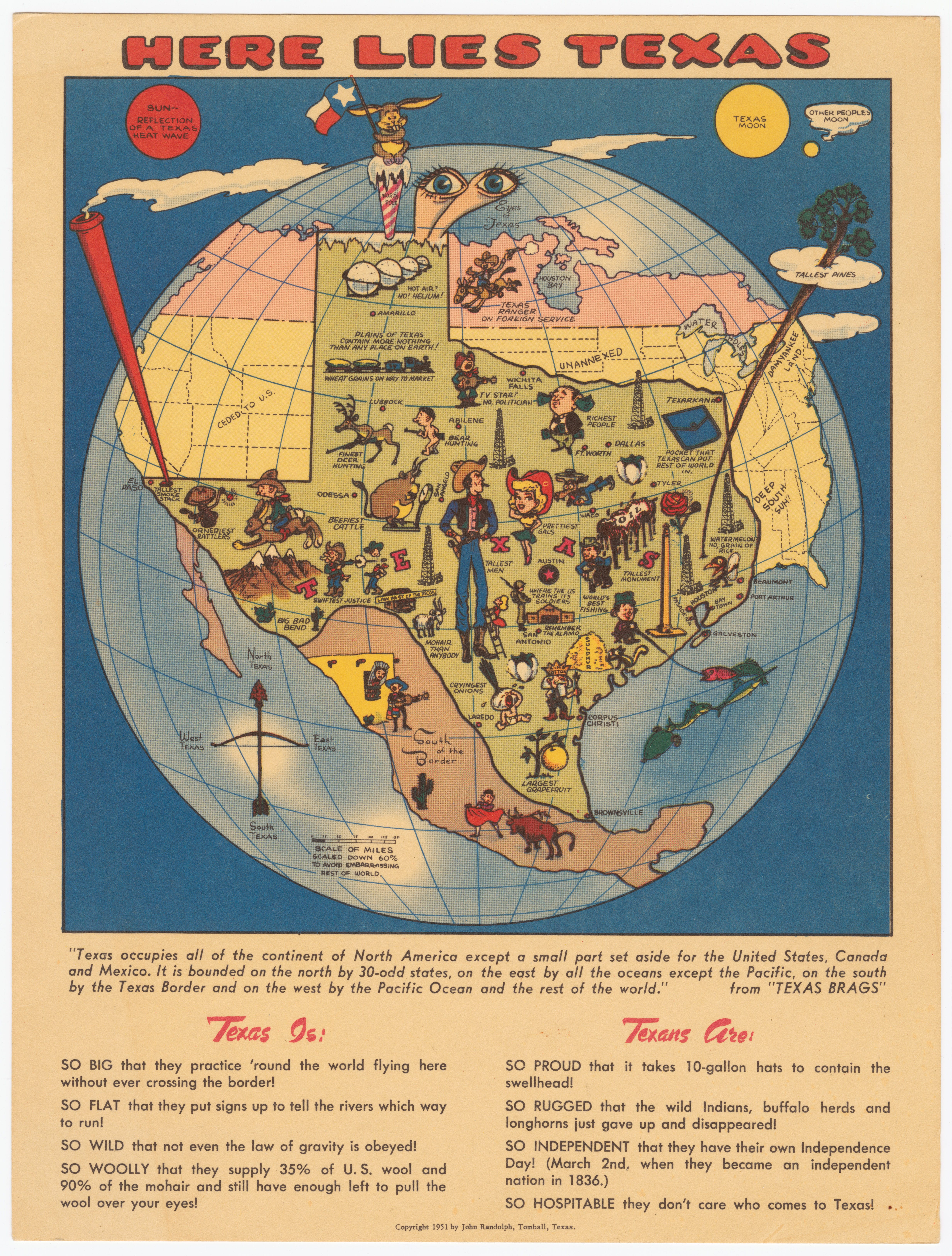
Behold this colorful pictorial map, issued as postcard.
"Scaled down 60% to avoid embarrassing rest of world."
Filled with brags like:
SO BIG that they practice 'round the world flying here without ever crossing the border!
SO FLAT that they put signs up to tell the rivers which way to run!
SO RUGGED that the wild Indians, buffalo herds and longhorns just gave up and disappeared!
So the land was too rugged for the Indians and Buffalos?
"Texas occupies all of the continent of North America except a small part set aside for the United States, Canada and Mexico. It is bounded on the north by 30-odd states, on the east by all the oceans except the Pacific, on the south by the Texas Border and on the west by the Pacific Ocean and the rest of the world."
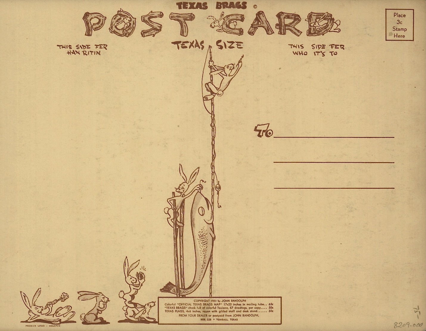
On verso: a mailing address panel.
Looking for more regional brags?
A Bostonian's Idea of the USA

A satirical look at the USA from the perspective of Boston. Map is wildly distorted to emphasize the Boston region. Great Lakes represented the size of Lake Champlain. Mississippi River shrunken in an otherwise empty Middle America. It notes only five universities in America - Harvard, William and Mary, Yale, Princeton and Columbi…
A New Yorker's Idea of the USA (1937)

This humorous pictorial map of the United States takes the perspective of a New Yorker, with New York shown in oversized proportion to the entire country. A parody of the self-centered - and geographically illiterate -New Yorker: Hollywood and San Francisco are shown as separate states and take up most of Californian. Minneapolis a…
Texas Map Credits
Author: John Randolph
Date: 1951
Publisher Location: Tomball, Texas
Having driven across TX, I can vouch.
🤢