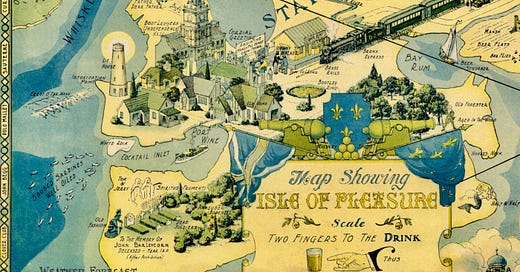
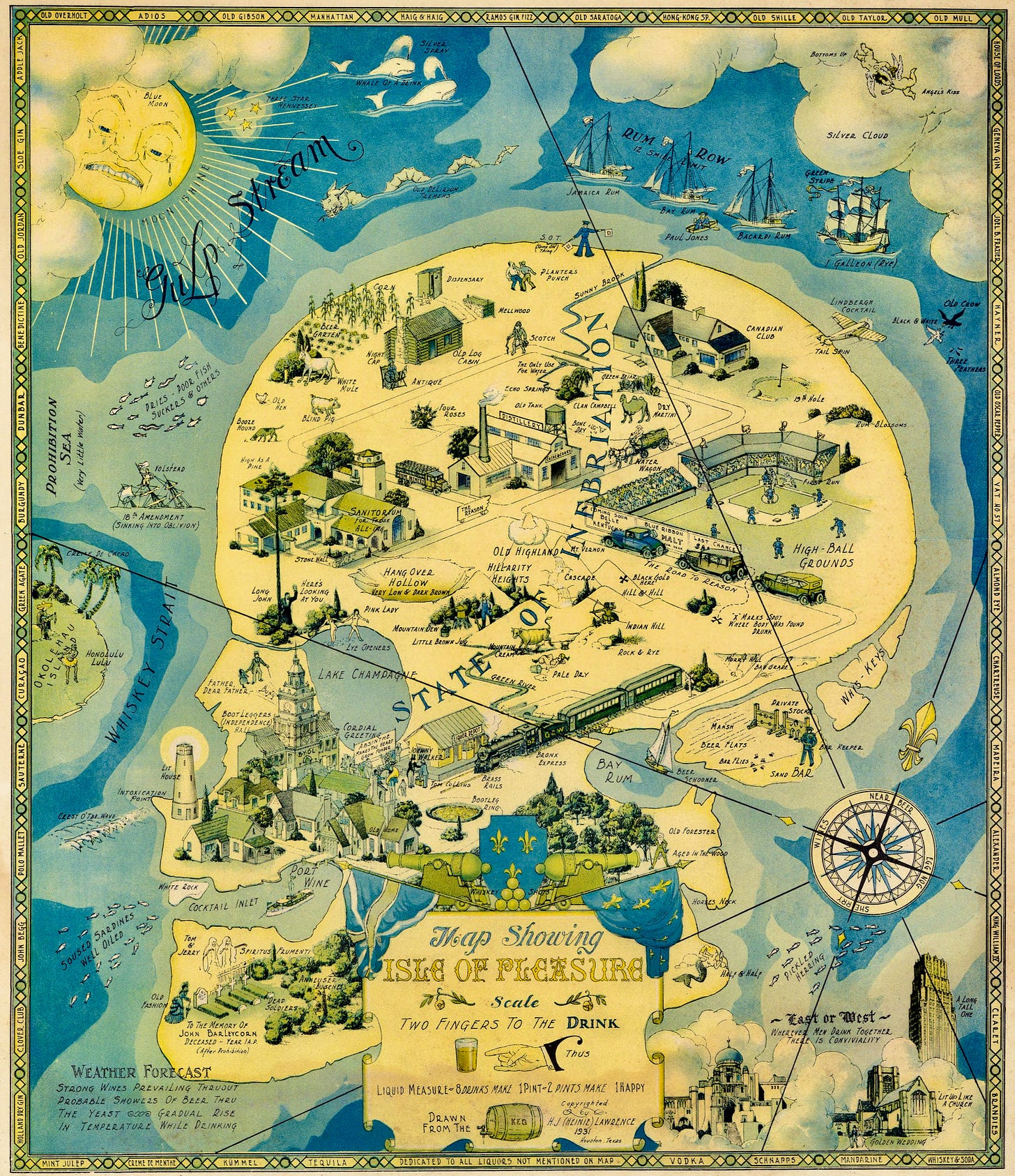
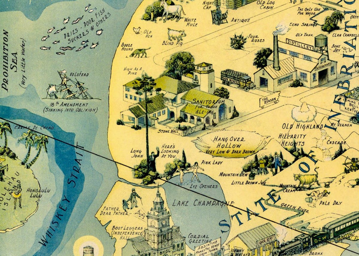
This map is called “Map Showing the Isle of Pleasure.” and it was created by H.J. “Heinie” Lawrence, a Houston-based architect, in 1931. The map is a pictorial representation of the “State of Inebriation,” which is shaped like a human skull and surrounded by the many whimsical details like: “Whiskey Strait,” the “Gulp Stream” and even “Pickled Herring.”
The map depicts various scenes of drinking, smuggling, and bootlegging, as well as the consequences of getting caught by the authorities. The map is full of clever details and references to the 1920s lingo, drinks, speakeasies, and types of alcohol that were popular at the time.
While this map was published in 1931, during the waining days of the Prohibition Era - 1920 to 1933. During those years, America had a nationwide constitutional ban on the production, importation, transportation, and sale of alcoholic beverages.
Want to see more on prohibition-era pictorial maps”
A Map for the “Scofflaw” (1931)
Subhead: An Imaginary Conception of an Ideal Estate A satirical map reflecting the increasing hostility toward Prohibition during the Depression as a "Dry Agent" drowns in the upper left, a sea bird says "haha," and the caption reads "and good for him."
Chicago's Gangland Map and Dictionary (1931)
Bruce-Roberts’ map of Chicago’s “gangland,” produced in 1931 and “designed to inculcate the most important principles of piety and virtue in young persons and graphically portray the evils and sin of large cities,” is a sensational and humorous approach to documenting crime in the city. Bruce-Roberts is not a person, but a company.…
Title: Map Showing the Isle of Pleasure
Author: H. J. "Heinie" Lawrence
Date: 1931
Publisher: H. J. "Heinie"Lawrence
Publisher Location: Houston


Super neat!
My great grandfather Brisco, who was a Bootlegger in upstate NY, would fully approve of this map.