


An Aerial View of New York City
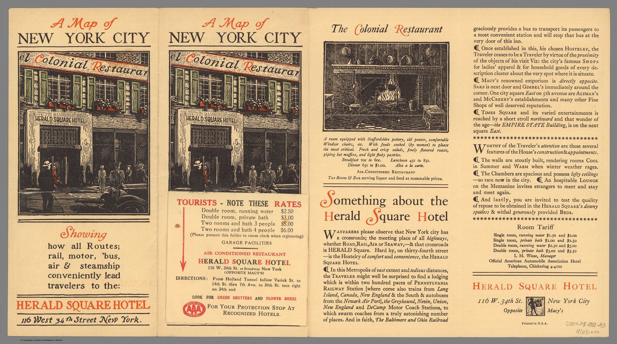
The weary traveler can enjoy the Herald Square Hotel - Double room w private bath: $3

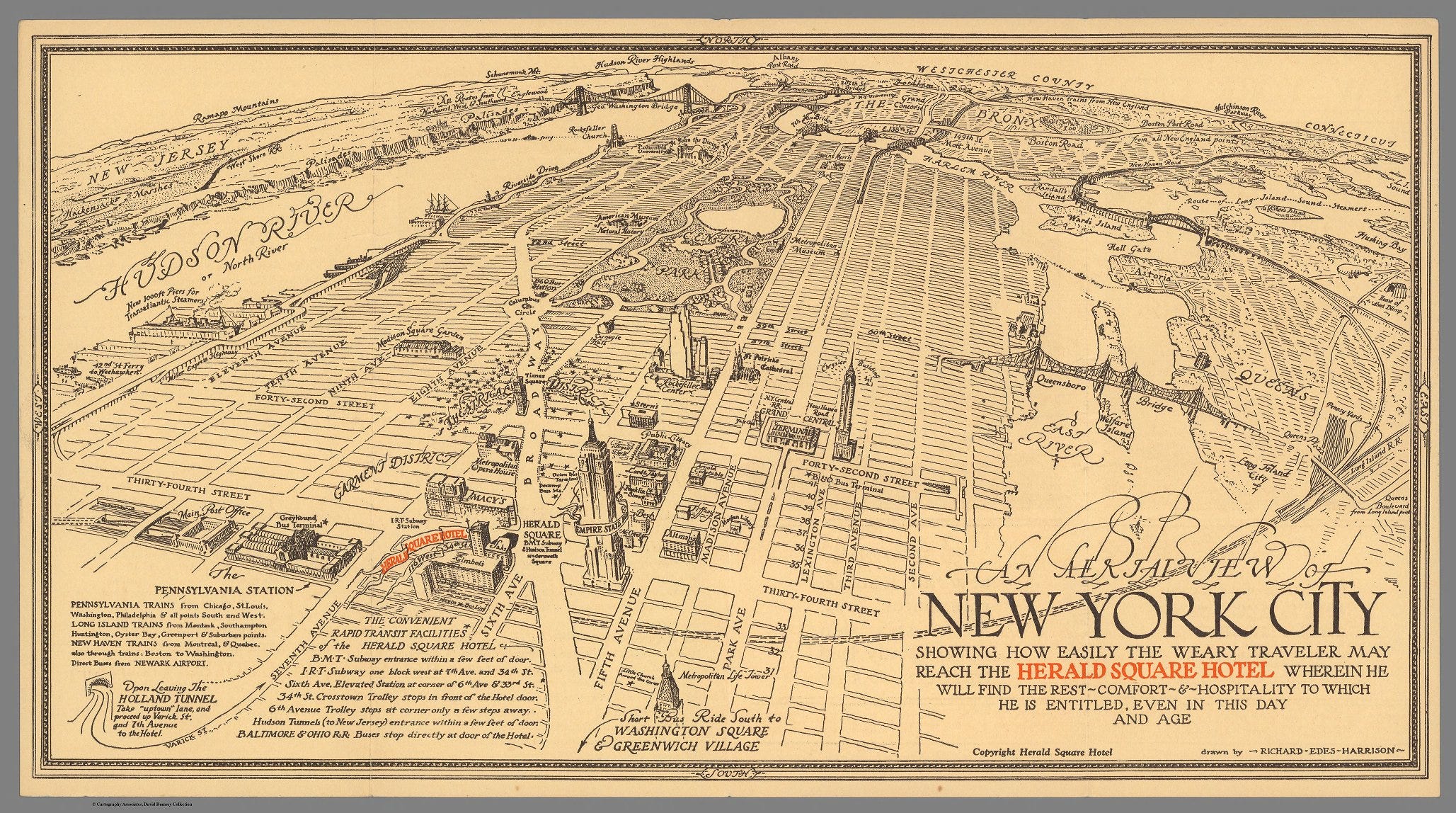
An aerial view of New York City : showing how easily the weary traveler may reach the Herald Square Hotel wherein he will find the rest, comfort & hospitality to which he is entitled, even in this day and age.
This stylish map was drawn by Richard Edes Harrison (March 11, 1901 – January 5, 1994). Harrison was an American scientific illustrator and cartographer. He was the house cartographer of Fortune and a consultant at Life for almost two decades.
Harrison always considered himself more of an artist than a cartographer, but he had a highly successful career making maps for Fortune and Time. He was from 1936 to 1938 on the staff of Fortune. He worked from the 1940s to the 1950s as a map consultant at the State Department, and was also employed by the Office of Strategic Services, the precursor of the CIA and the Museum of Modern Art.
(Cover title on verso) A map of New York City : showing how all routes, rail, motor, bus, air & steamship, conveniently lead travelers to the Herald Square Hotel.
Short Title: An aerial view of New York City
Author: Richard Edes Harrison
Author: Herald Square Hotel
Date: 1931
Publisher: Herald Square Hotel
Publisher Location: New York
David Rumsey Historical Map Collection: Map 11103.002 | Verso 11103.000
And dinner for only 65 cents with food cooked (by women) to please the most critical!