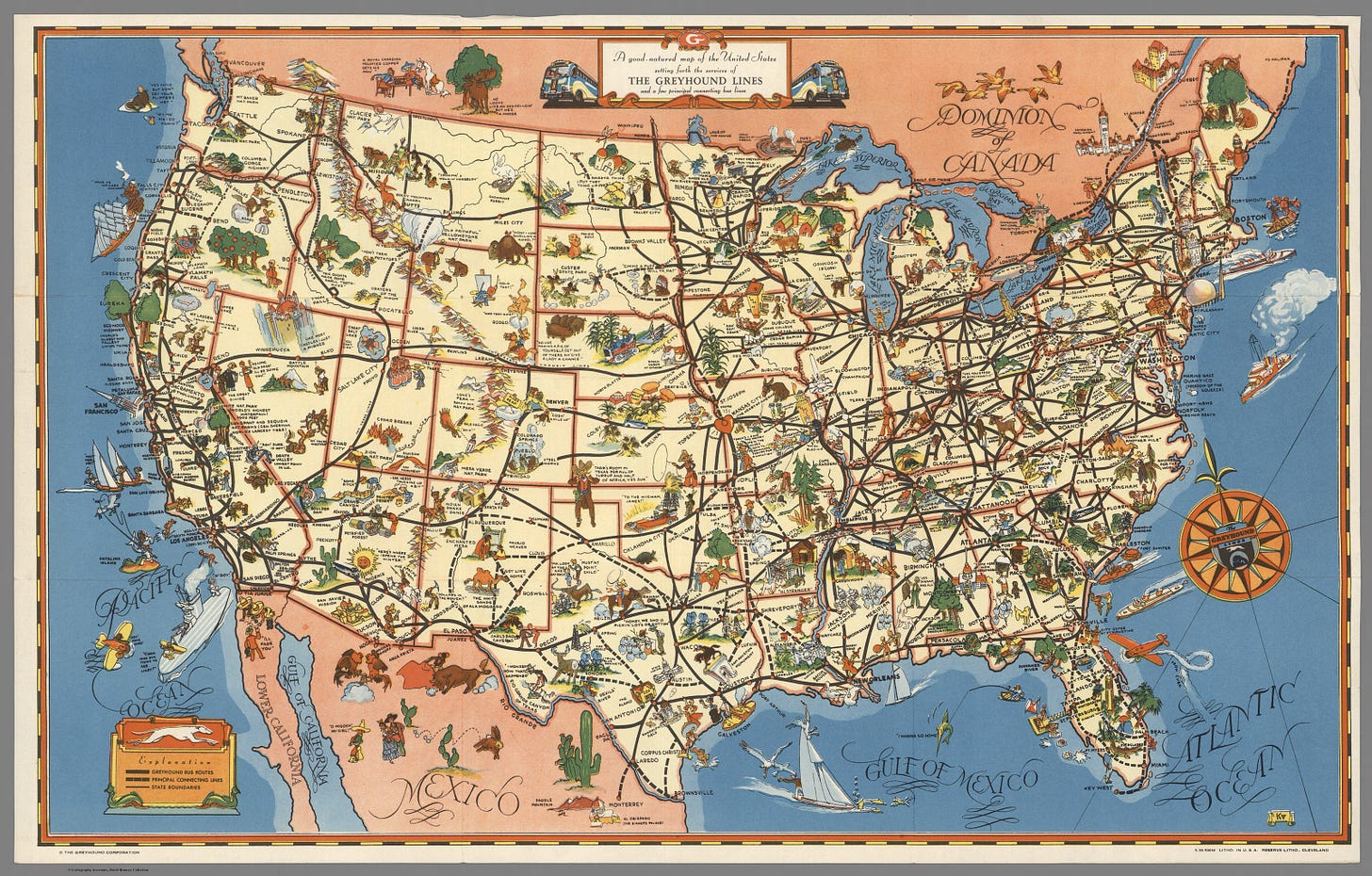
A good-natured map of the United States setting forth the services of The Greyhound Lines (1939)
Riding the road in pre-WWII America
Colored pictorial map of the United States on sheet 30x48, folded into self wrapped cover 16x10. Date estimated. The Greyhound bus routes are shown in black, with interconnecting routes in dotted line, small pictographs highlight the attractions of places, and recreation along the routes. (on verso) text: travel information and views of landmarks and sightseeing. Relief shown pictorially.
Collection: David Rumsey Historical Map Collection
List No: 8447.003
Author: Greyhound Corporation
Date: 1939
Short Title: A good-natured map of the United States setting forth the services of The Greyhound Lines
Publisher: Reserve Lithographic Printing Company
Publisher Location: Cleveland
Type: Pocket Map


